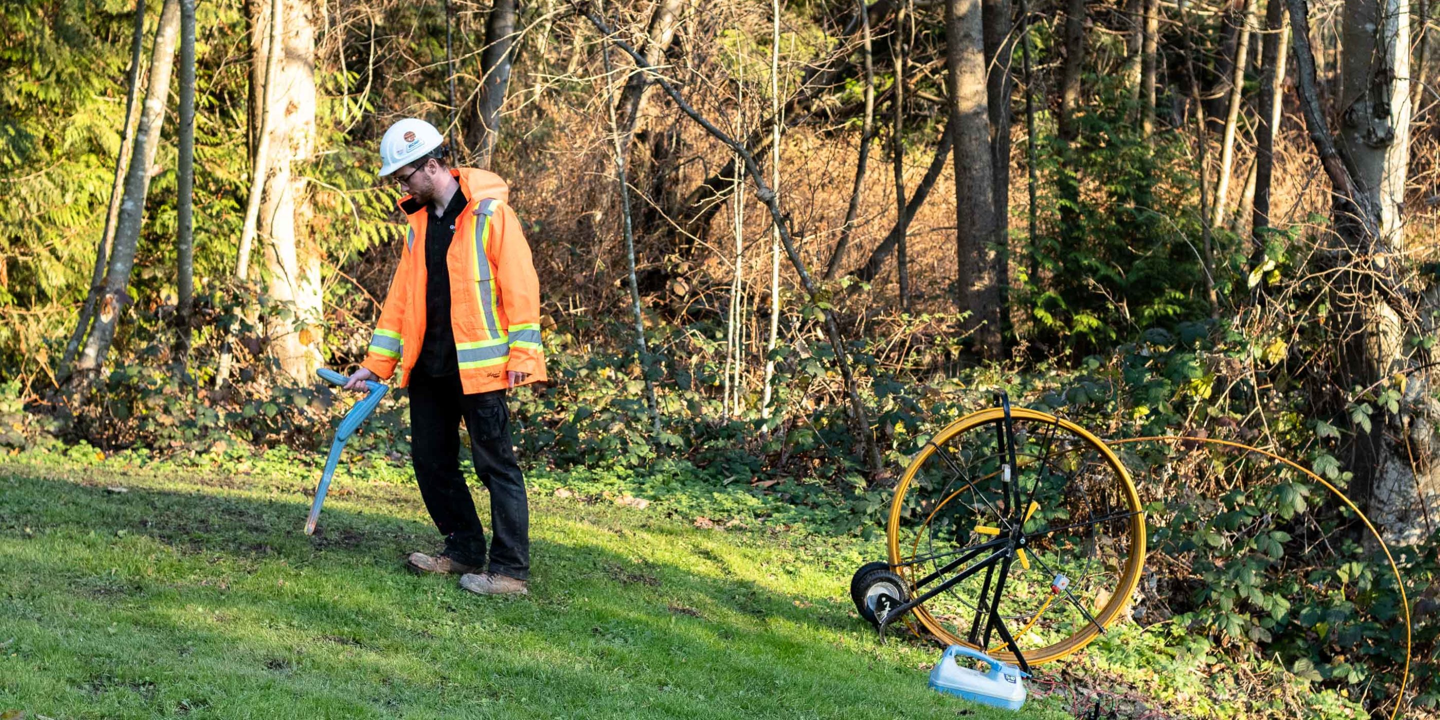
Utility line locating is the process of identifying and labelling underground utilities.
These include a multitude of subsurface services including: communications, electrical, gas, sewer, water and more.
Utility line locating is a necessary on-site practice to update and confirm the accuracy of existing drawings and plans that may be outdated. BC contracting laws state that any planned ground disturbance must be notified to utility providers through the BC One Call platform who then accumulate all available ‘current’ information on subsurface pipe, cable & duct installations, however this is not always complete and/or accurate enough to break ground safely.
7-10% of all utility lines located were originally unknown, with no record of them existing
This incredible stat helps to understand the importance of risk mitigation in this industry. Up to 10% of utility lines not only have inaccurate locations, but are completely undetected in historical documentation.
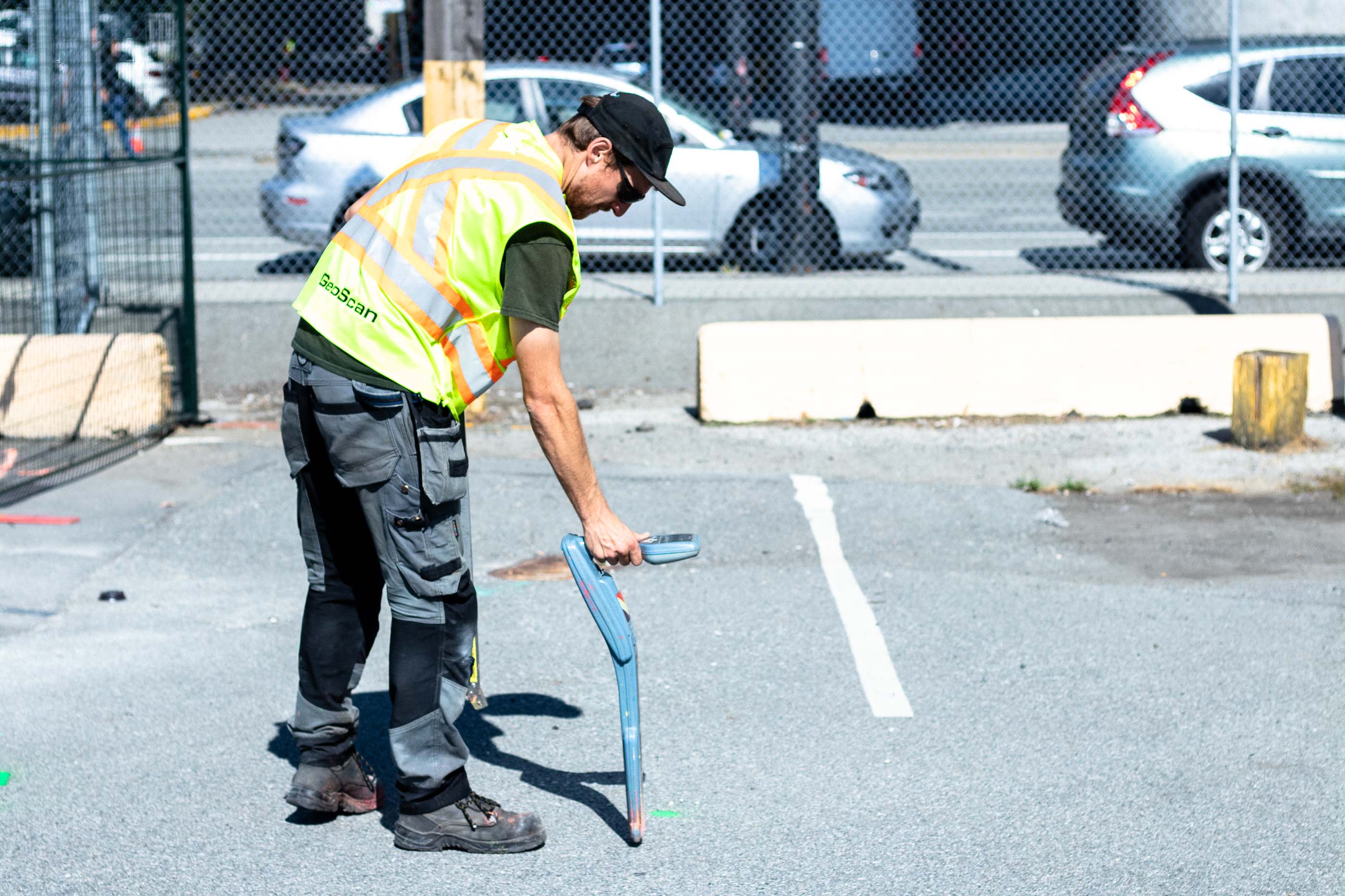
Utilizing the latest geophysical detecting technologies, GeoScan are able to determine the accurate location and depth of these services, onsite, that may or may not be detailed within the specific BC One Call package.
GeoScan uses industry-leading Ground Penetrating Radar (GPR) and Electromagnetic (EM) equipment. Both are non-destructive technologies that provide real-time results, that are marked on-site allowing you to dig with confidence.
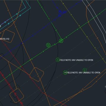
Results from GeoScan utility locator surveys are detailed in an informative work order that includes a 2D PDF sketch with subsequent information covered on each utility present.
GeoScan offers in addition to our general locate package (2D PDF sketch and work order) a Subsurface Utility Engineering (SUE) report that is compliant with CI/ASCE 38-22 standards. GPS/Total station data points are collected for the location and depth of confirmed underground and surface utility features, including unknowns and suspected abandoned lines. These data points are then incorporated into an engineering drawing using CAD software and accompanied by a concise survey report.
SUE form a key aspect in the pre-design engineering phase of projected developments and is a useful method for maintaining up to date records of privatized facilities. The produced CAD files can then be utilized to design and plan the implementation of future utilities prior to any proposed ground disturbance.
Schedule a Utility Locate
Applications and Benefits of advanced utility locating
Industries that rely on underground utility confirmation and ground clearance include: environmental (for geotechnical drilling/monitoring purposes), construction ( including but not limited to: shoring, excavating/trenching, tunnelling, piling) and real estate, e.g. for Underground Storage Tank [UST] detection in line with new environmental laws on purchasing/selling property.
- On site accuracy you can be confident in
- Quick and efficient survey process
- Experienced technicians
- Fast, detailed site drawing and report
- Non-destructive method
- Proven, tested results with 10 years of case studies
- Plastic and metallic targets
Registered Utility Locating Technicians (RULT)
As leaders in the utility locating industry, GeoScan has tirelessly pushed for increased regulation and higher training standards. This culminated in the creation of the Registered Utility Locator Technician (RULT) certification available through the Applied Science Technologists & Technicians of British Columbia (ASTTBC).
This program produces competent and qualified technicians who provide the ground distrubance community and public with the confidence needed to complete projects competently and safely.
GeoScan’s Commitment
Every locate project we work on is stamped by a Registered Utility Locating Technician.
