Mar 2018
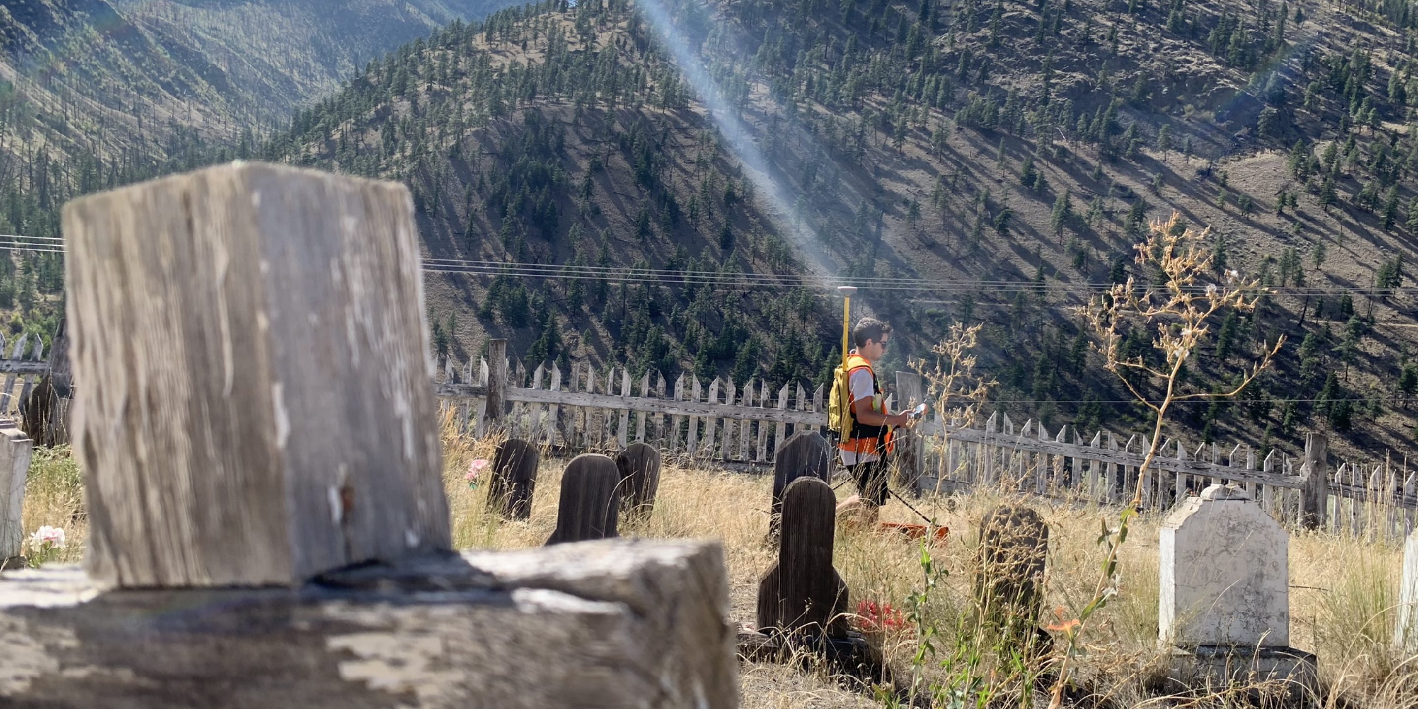
GeoScan Subsurface Surveys was hired to perform a survey a of a burial ground by an Archaeological consultancy.
An unmarked grave was discovered when digging and further research revealed that previous records of the burial ground had been destroyed in a flood.
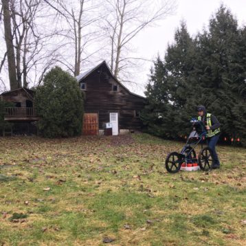
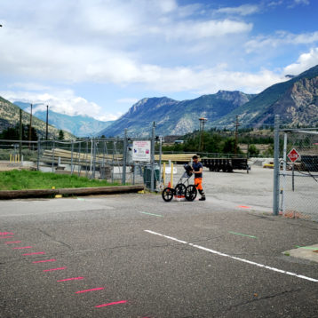
GeoScan performed a full geophysical survey of the area utilizing Ground Penetrating Radar (GPR). Accurate time slice images of the subsurface were then produced revealing multiple unmarked burials within the survey area.
These burials were then mapped using ArcGIS and provided an excellent alternative to digging.


