Xradar conducted a survey on a set of bridges in southwestern British Columbia in order to gain information about how much cover the reinforcing bars (rebar) had.
Services
- Slope Stability Assessments
- Forensic/Crime Scene Geophysics
- Construction Layout Surveys
- Fully Managed Daylighting Program
- LiDAR Services & Mobile Mapping
- GIS Utility Mapping
- Topographic Surveys
- Surveying
- Underground Oil Tank (UST) Locating
- Subsurface Utility Engineering
- Utility Line Locating
- Tree Root Mapping
- Asphalt & Pavement Thickness Mapping
- Archaeological Geophysics
- Ice Thickness Profiling – Lake, River and Road
- Contaminant Plume Mapping & Landfill Delineation
- Bedrock Mapping & Profiling
- Subsurface Void Locating

Situation
The main objective was to identify any areas with severe corrosion and accurately map out the concrete cover of the rebar within selected areas.
There are a wide range of factors that can lead to the corrosion of steel within concrete and bridges are especially susceptible. Environmental factors such as wind, water, temperature changes and rivers all contribute to the corrosion of the rebar within the concrete.
Due to the risk associated it is important to carry out regular corrosion mapping and rebar cover surveys on at risk areas in order to ensure public safety.

Solution
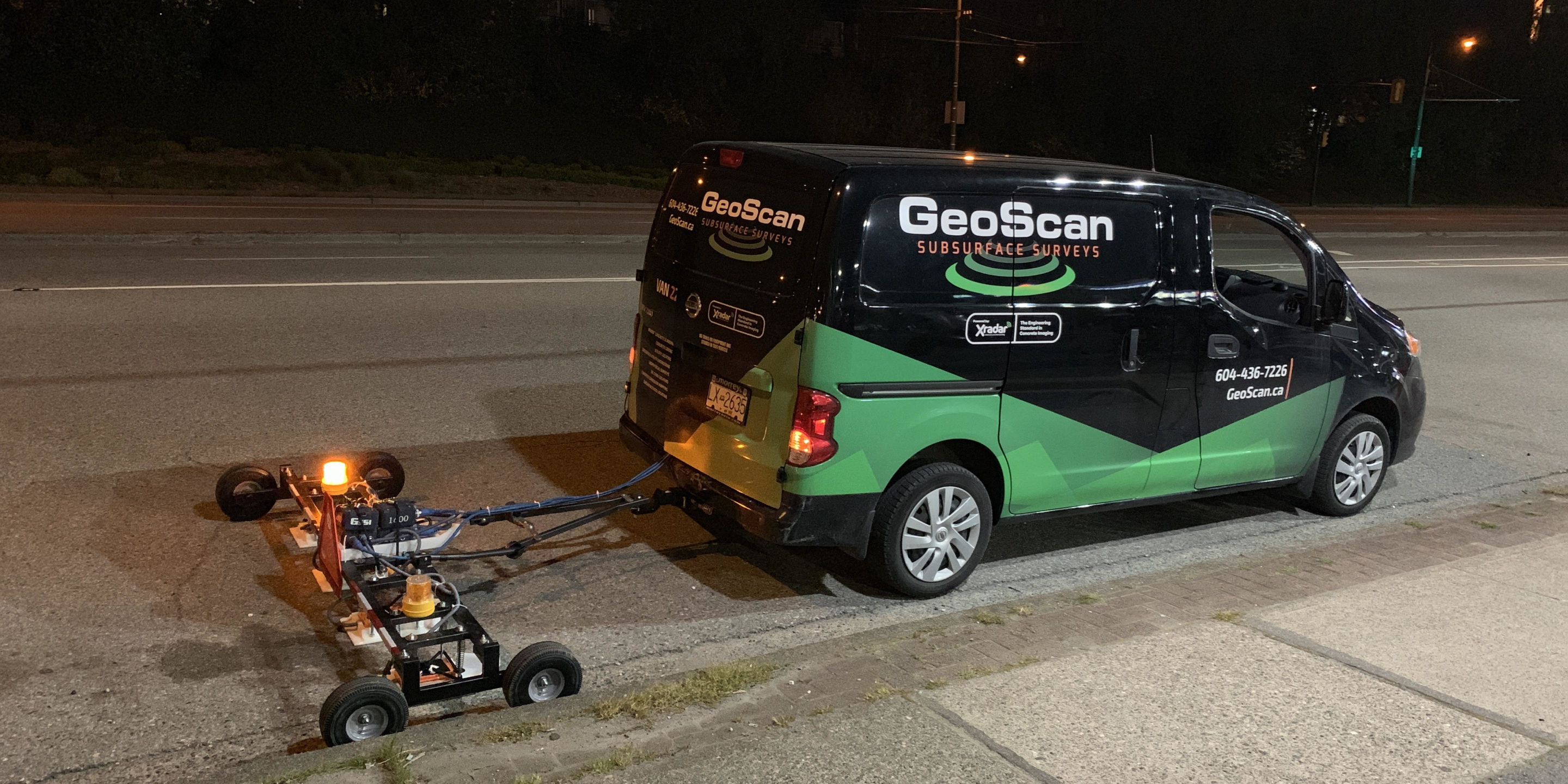
Xradar was hired to scan the bridges, with an area of 40,000 square meters needing to be surveyed. In order to avoid lane closures and disruptions data was collected using our specialized towed array, which performed scans on the bridges at 19km/h.
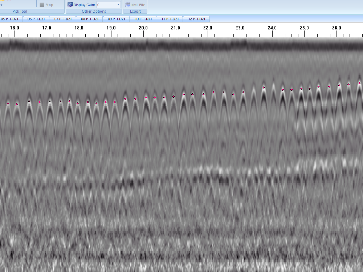
60 lineal kilometres of data was collected over the survey area using the towed array along with GPS and local coordinates to accurately map the positioning of the grid.
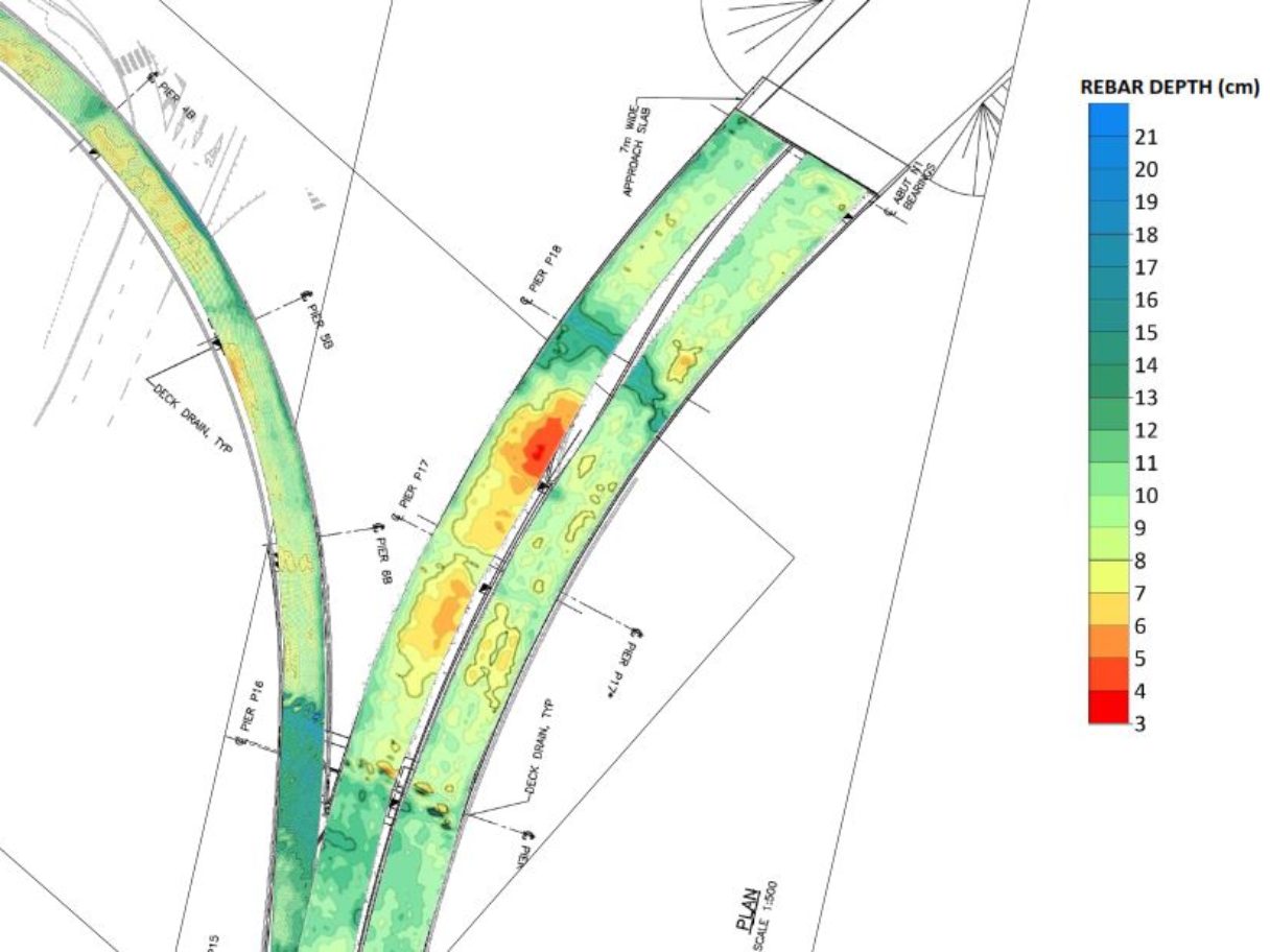
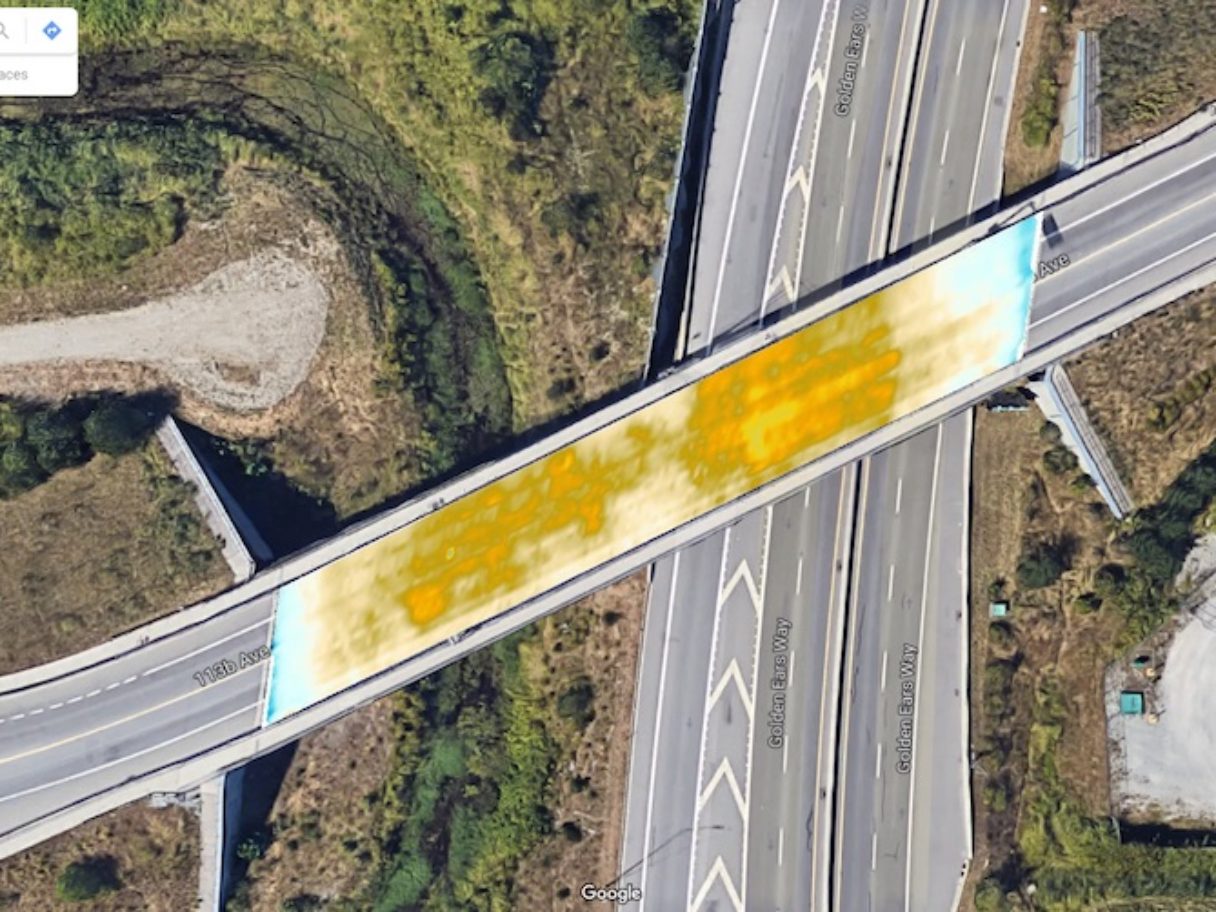
No concrete corrosion was detected in the survey area, so the survey results consisted of heat maps highlighting the concrete cover using AutoCAD and overlays on satellite imagery. This would allow the client to accurately estimate the remaining life and at risk areas of the concrete.
Conducting the same survey in a couple of years will allow for comparisons utilizing a four dimensional data set.
