Feb 2019
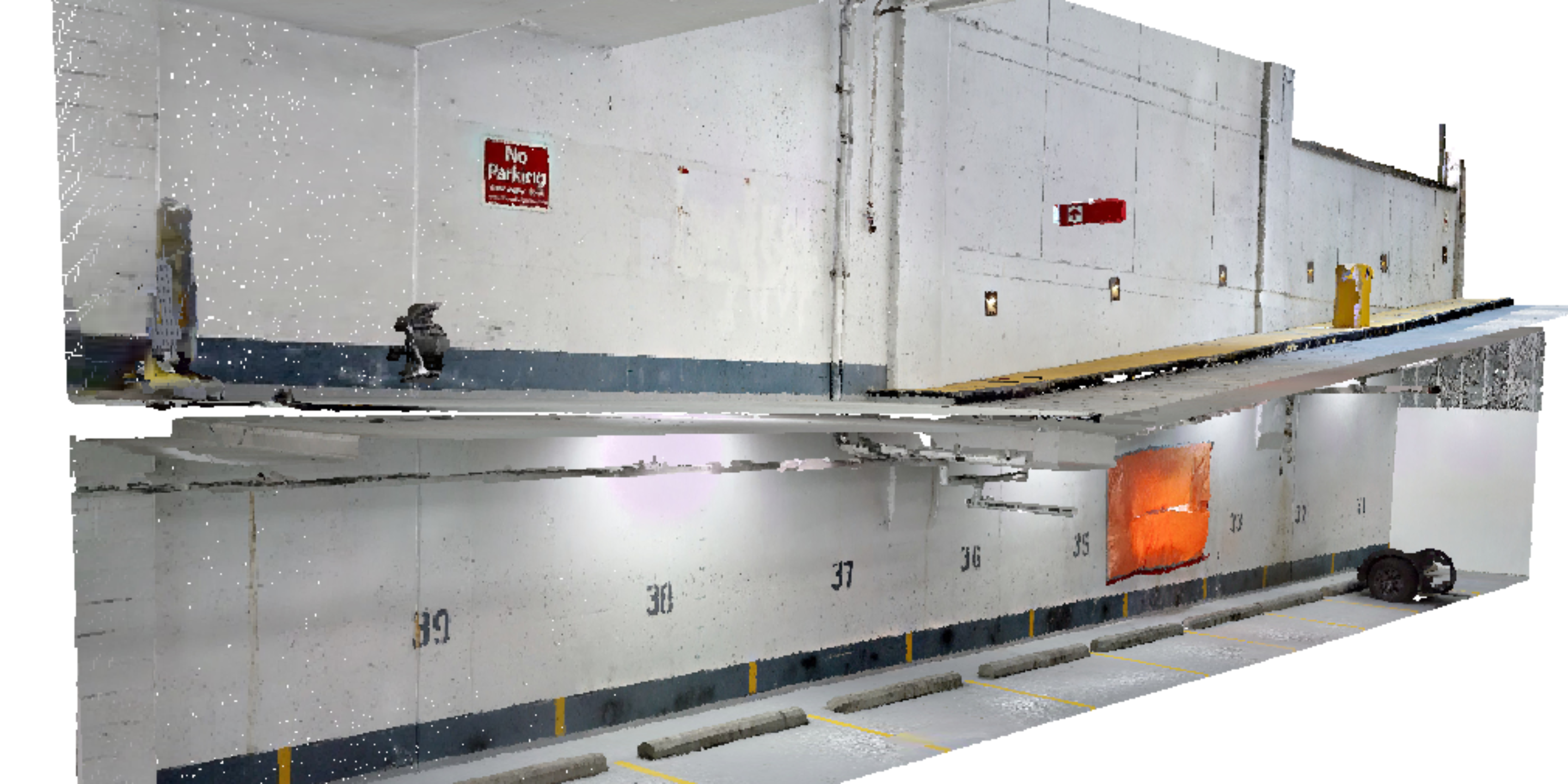
GeoScan Subsurface Surveys was contracted by an Engineering firm in Downtown Vancouver to map steel reinforcement cover and concrete slab thickness within the concrete wall of a parkade.
A hole had formed in the wall, exposing uneven concrete thickness and very minimal concrete cover within the wall, this caused concern among the buildings owners and it’s engineering representatives.
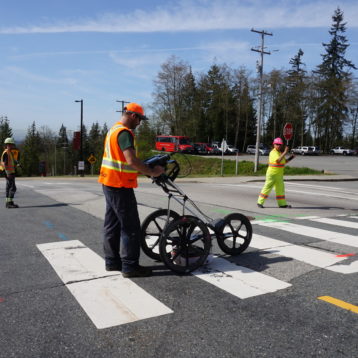
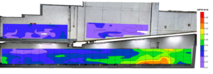
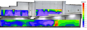
GeoScan utilized it’s Xradar system to scan sections of the wall. The data was then processed to produce 2 maps, one for the thickness of the wall, and one for the steel reinforcement cover. Rebar spacing, depth and diameter details were also produced.
This information enabled the engineer to make structural decisions regarding the at risk wall.
Location
Vancouver
Industry
Engineering
