November 2018
GeoScan were recently hired by a leading engineering company to perform a geophysical survey of a suspected waste dump
Location
Vancouver
Industry
Geophysics
What is illegal waste dumping?
As defined by Capital Regional District, abandoned waste is waste placed in public spaces, like boulevards, or at non-profit organizations, often with the intention of re-using, but ending up as garbage. Illegal Dumping is waste purposefully left in private or public areas instead of using proper recycling or safe and legal disposal methods.
The following items are considered abandoned waste:
- Garbage
- Yard waste
- Construction debris
- Large materials, including furniture, mattresses, TVs and appliances
Situation
An area south of Victoria on Vancouver Island was suspected to have been used as an illegal dumping ground. Approximately 6,700 square meters, the area required an Electromagnetic Conductivity Survey to determine the presence of buried waste, and therefore confirm the company’s suspicions of illegal dumping.
Solution
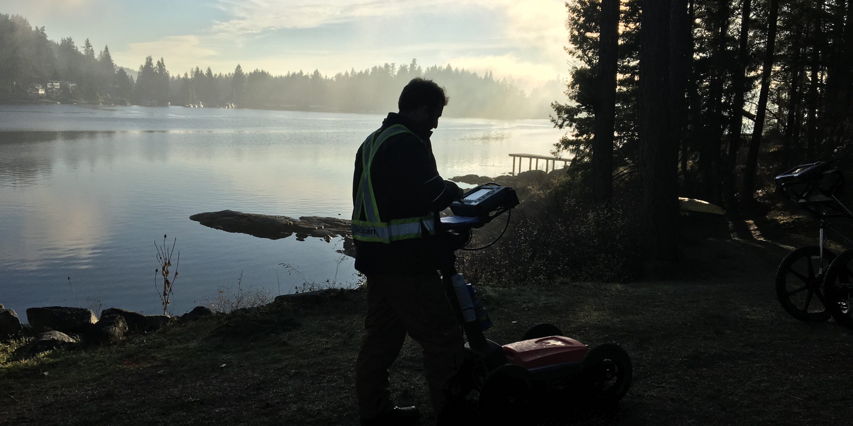
A GeoScan technician performed an Electromagnetic Conductivity Survey of the area in order to test for areas of high conductivity and metallic disturbance.
This technique is commonly used to identify subsurface features, areas of high or low conductivity, and areas of high magnetic disturbance. The data was processed to create two differing colour-coded maps of the subsurface, showing conductivity data in MilliSiemens per Meter (mS/m) and In-Phase (magnetic) data in Parts Per Million (PPM).
The scan showed the main concentration of conductivity in the southern part of the area, confirming the presence of buried waste. The eastern area of the survey also displayed some responses, although with evidence of existing dumping, scrap metal, and other items scattered throughout the survey area on the surface, this is suspected to mainly consist of surface metal.
Although Electromagnetic Conductivity was used for this site, we could also have used a Magnetometer which draws accurate results when determining old, buried material.
For more information on our geophysical services and Electromagnetic Conductivity Surveys, get in touch with a GeoScan technician.


