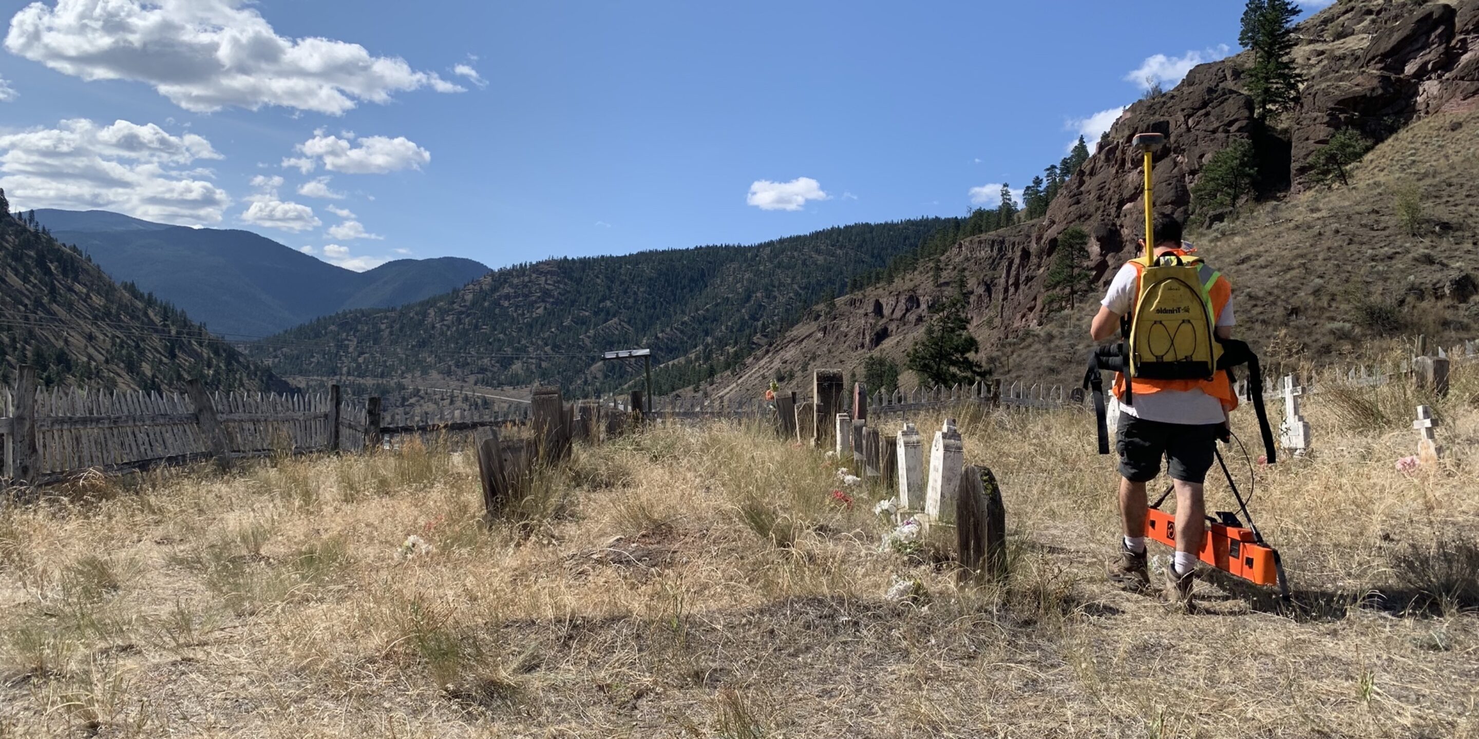
It’s no secret that Archaeological Geophysics is a complex industry, with complex methodologies. Methodologies that require the use of multiple technologies and detailed and experienced interpretation to ensure quality, especially whilst conducting surveys on areas such as unmarked or undocumented graves.
Sensitivity is heightened when revealing buried archaeological features, sites and landscapes, so survey quality is your absolute priority. It’s important to stress the importance of accuracy in archaeological investigations.
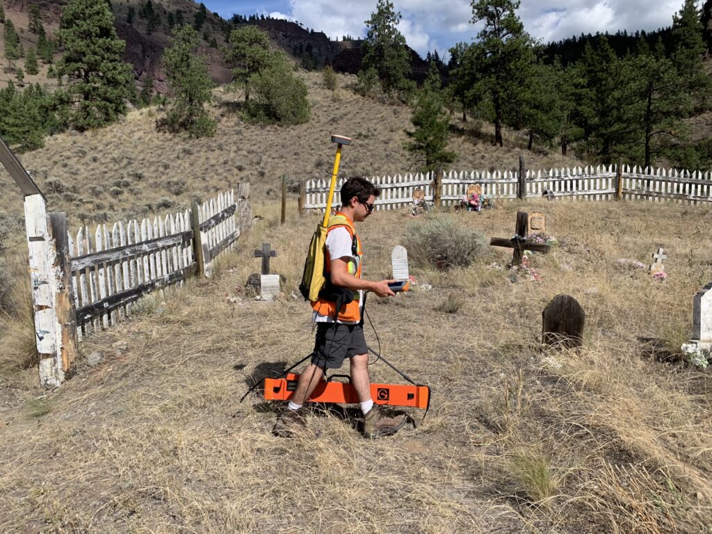 Using multiple methods in Archaeological Geophysics
What techniques are used in Archaeological Geophysics?
UBC defines Archaeological Geophysics as “the examination of the Earth’s physical properties using non-invasive ground survey techniques”. These techniques can vary though, depending on what the situation demands.
Three of the most commonly used methods in Archaeological Geophysics are Ground Penetrating Radar (GPR), Electromagnetic Conductivity (EM), and Magnetometry (Mag).
Ground Penetrating Radar (GPR) works by emitting a signal from a radar antenna (transmitted signal) which enters the subsurface and reflects off objects with differing dielectric values to that of the surrounding medium (the soil in most cases).
These reflections make their way back to the receiver unit of the antenna (received signal) and a two-way travel time can be used to calculate the depth and position of a given utility or unknown feature.
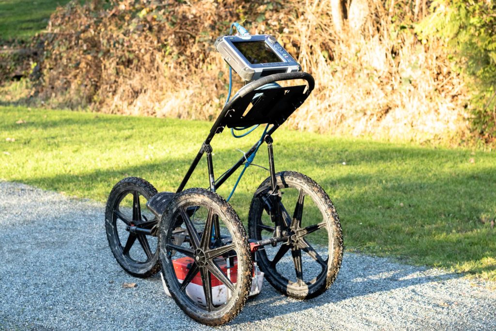 Ground Penetrating Radar (GPR)
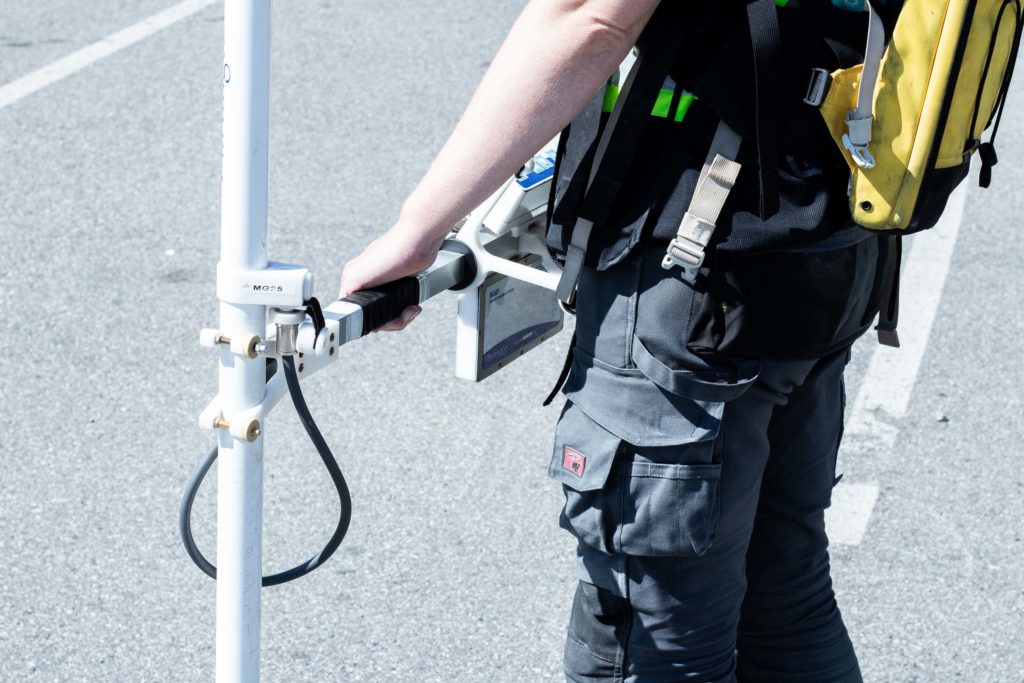
Electromagnetic conductivity locating (EM) is a tool which can be used either in active or passive modes. Active EM locating involves inducing an electromagnetic signal onto a desired conductive object. Passive EM locating works by reading a frequency that occurs naturally, such as high voltage electrical cables which emit a frequency of 60Hz in North America. These conductivity sweeps are fast and effective up to 6m deep.
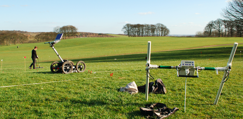
Magnetometry (Mag) is typically used to locate ferromagnetic materials in the subsurface, such as steel, iron, cobalt, and nickel. This method is very useful due to the vast area of ground that you can cover in a short space of time. Magnetometry can be regularly used to locate remnants of abandoned oil and gas wells, or to pick up the magnetic signatures of various human related activities, such as hearths and various pits.
Why would you need to use multiple methods?
Each of these fantastic methods have their own strengths and weaknesses. It is important to make sure you have each at your disposal when surveying the subsurface.
As well as this, it is also important to gain a knowledge of the area in question. This could be through focussed conversations with the land owners, or reading through previous survey reports.
Even with the best preparation, site conditions cannot always be determined prior to starting a project. Adverse weather conditions may limit the use of equipment – saturated soils or flooded regions greatly limit the effectiveness of a GPR scan for example. Having the ability to change equipment based on site conditions and background is of huge benefit to a field technician.
By using multiple separate NDT surveying procedures in the field, the technician can cross-reference data collected from them all. If there are any discrepancies between the information then the technician can further investigate in order to provide the most accurate interpretation. The more underground information collected on a site the better as it leaves little to no room for surprise encounters when performing ground disturbance operations.
If you’d like to learn more about how we use these methods in our work, please head to our blog pages. If you’d like to speak to one of our technicians about a project of yours please contact us.
