April, 2018
No as built drawing, nor any historical data is available when it comes to locating tree roots. But we thrive on the unknown.
Tree roots may not sound exciting at first, but if they belong to trees at high risk in sensitive areas and are located in a path where a new underground pipe is planned to be laid, their significance may be more than first expected.
A small community on the Sunshine Coast had feared the installation of a new pipe will disturb and potentially destroy several of the Douglas firs ornamenting a popular walking trail.
To avoid any harm, the construction company needed to know where the tree roots are located along their proposed utility path. Later on, using this information they could built alternative routes or adjust the elevation of the proposed utility profile to avoid any damage in the roots during construction.
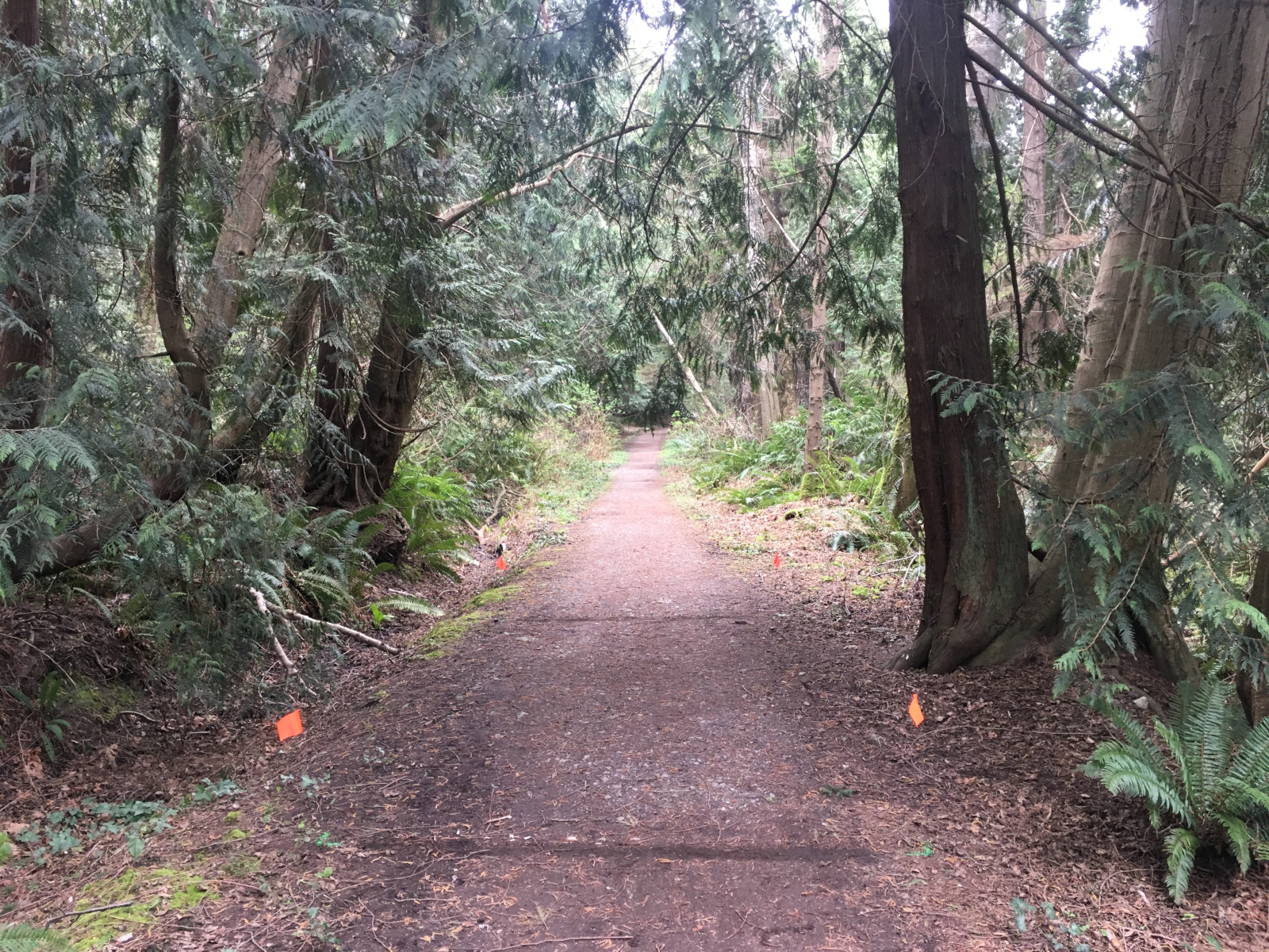
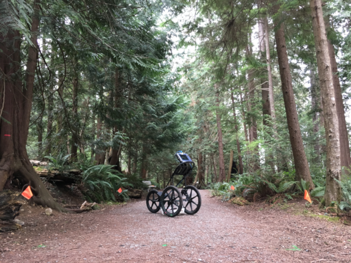
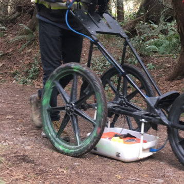
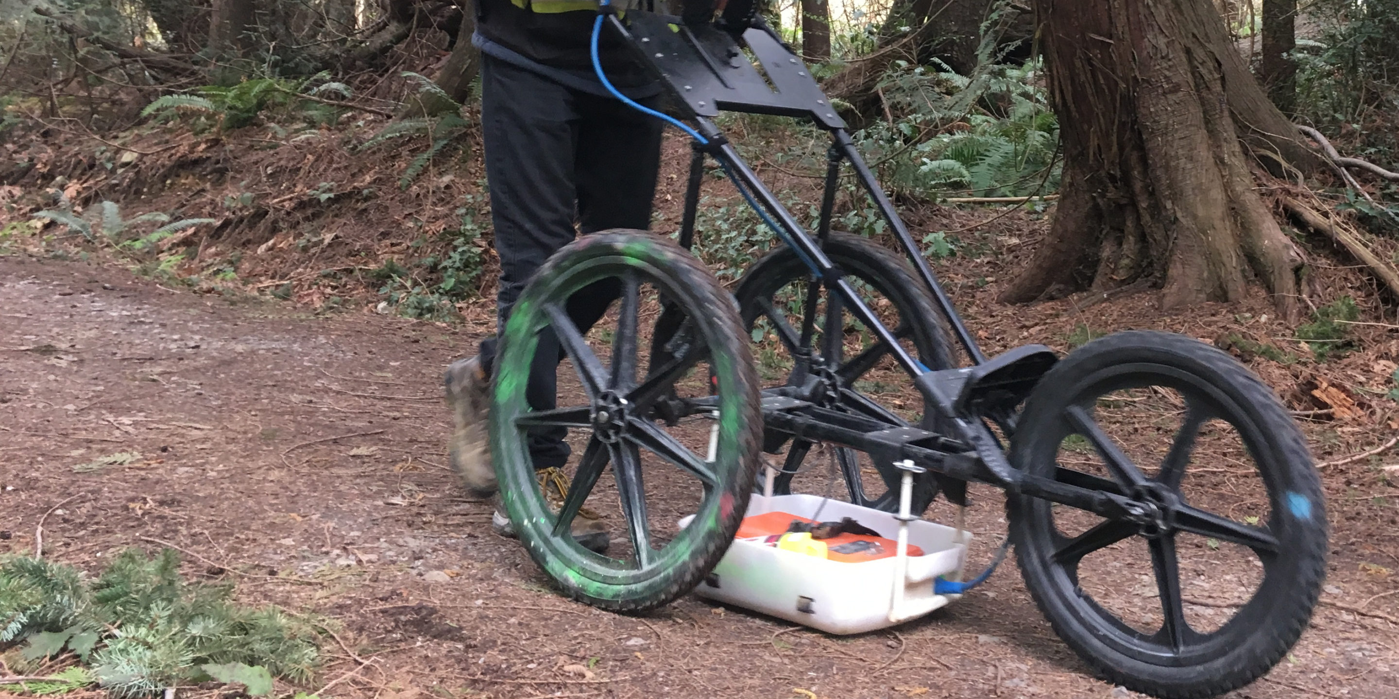
GeoScan was hired to locate the tree roots of several trees along the path. Due to the unusual nature of the targets, we setup a tight spaced grid at every location and collected high density data sets using a mid-high frequency range GPR antenna.
The collected data sets were processed, individual GPR profiles were interpreted and they were combined to create a quasi 3 dimensional distribution map of the tree roots at every grid location. The distribution map showed the disturbed areas by the roots along with their depths within the survey locations. The distribution map then were used to alter the path of the proposed utility to avoid damage in the neighbouring trees.
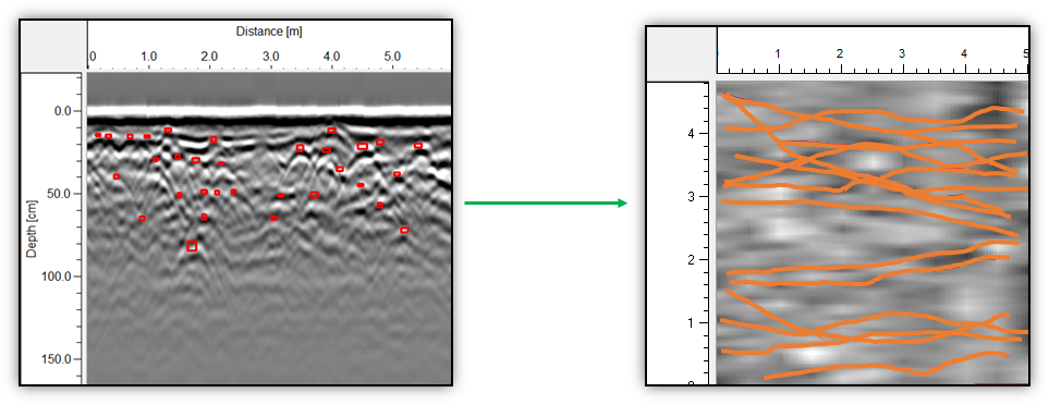
Besides a distribution map, a tree root map can also be generated. The individual tree roots are picked on the GPR profiles which are turned into a three-dimensional volume. The image below shows an example from one of the tree root B-scans (left) that were later combined into a three-dimensional cube (right side). The located tree roots (marked with red rectangular on the left) after merging the profiles resulted an almost complete system as indicated on the image on the right.
