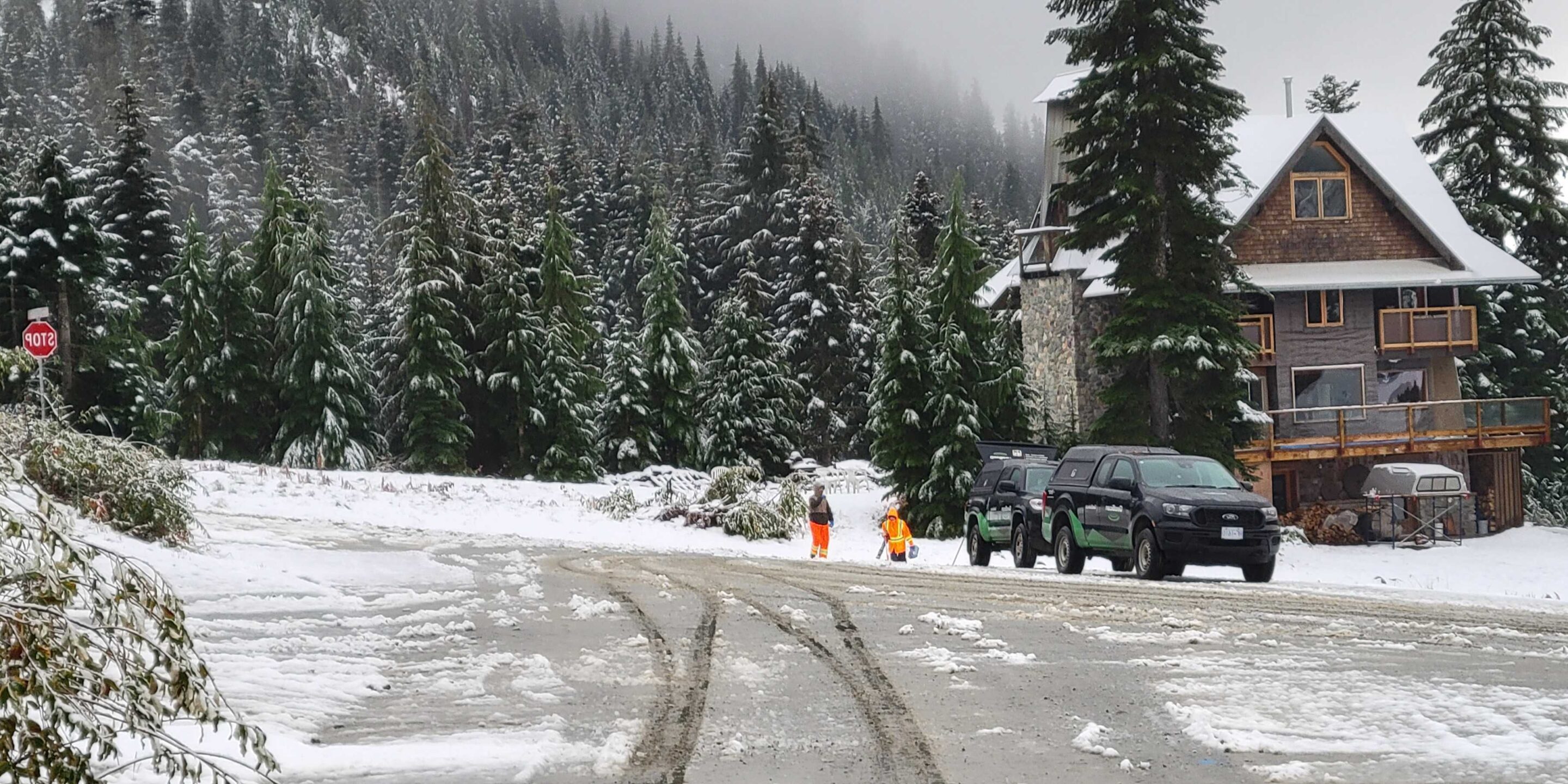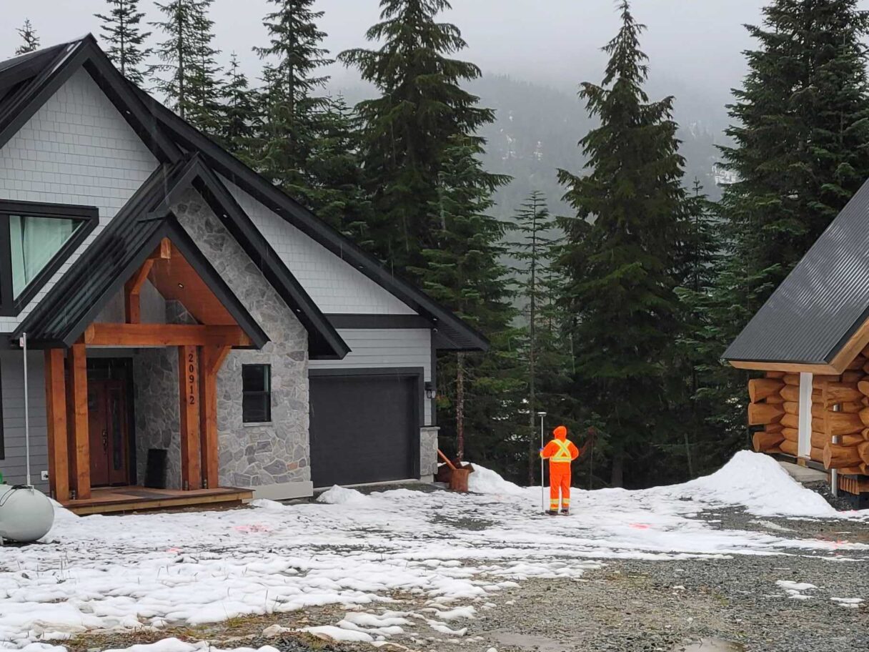
GeoScan recently completed a Subsurface Utility Engineering project at a ski resort in Southwest British Columbia.
Location
British Columbia

Situation
Initially designed as a seasonal community with 225 lots, the resort’s natural beauty and abundant snowfall have attracted a sizable following. By 2015 a plan was set in motion to create an all-season get away and the demand on the limited infrastructure increased. To meet this demand, changes needed to be made. But where to start? No one really knew. The location of the existing underground utilities were a mystery. Stakeholders didn’t have a clear idea of the underground utility locations, except for the occasional manholes unexpectedly revealed by the grader attempting to upkeep the constantly shifting gravel roads. And that’s where GeoScan entered the picture.

Solution
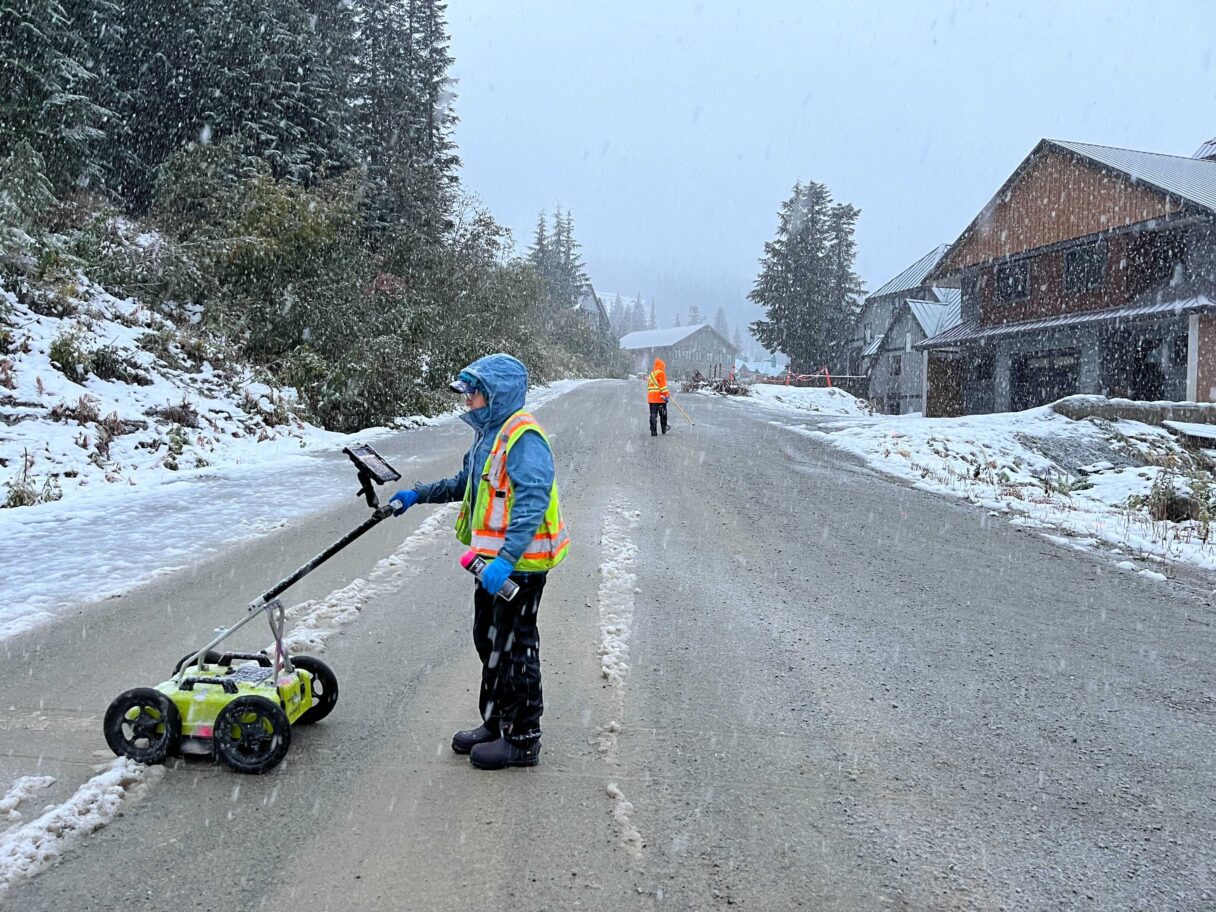
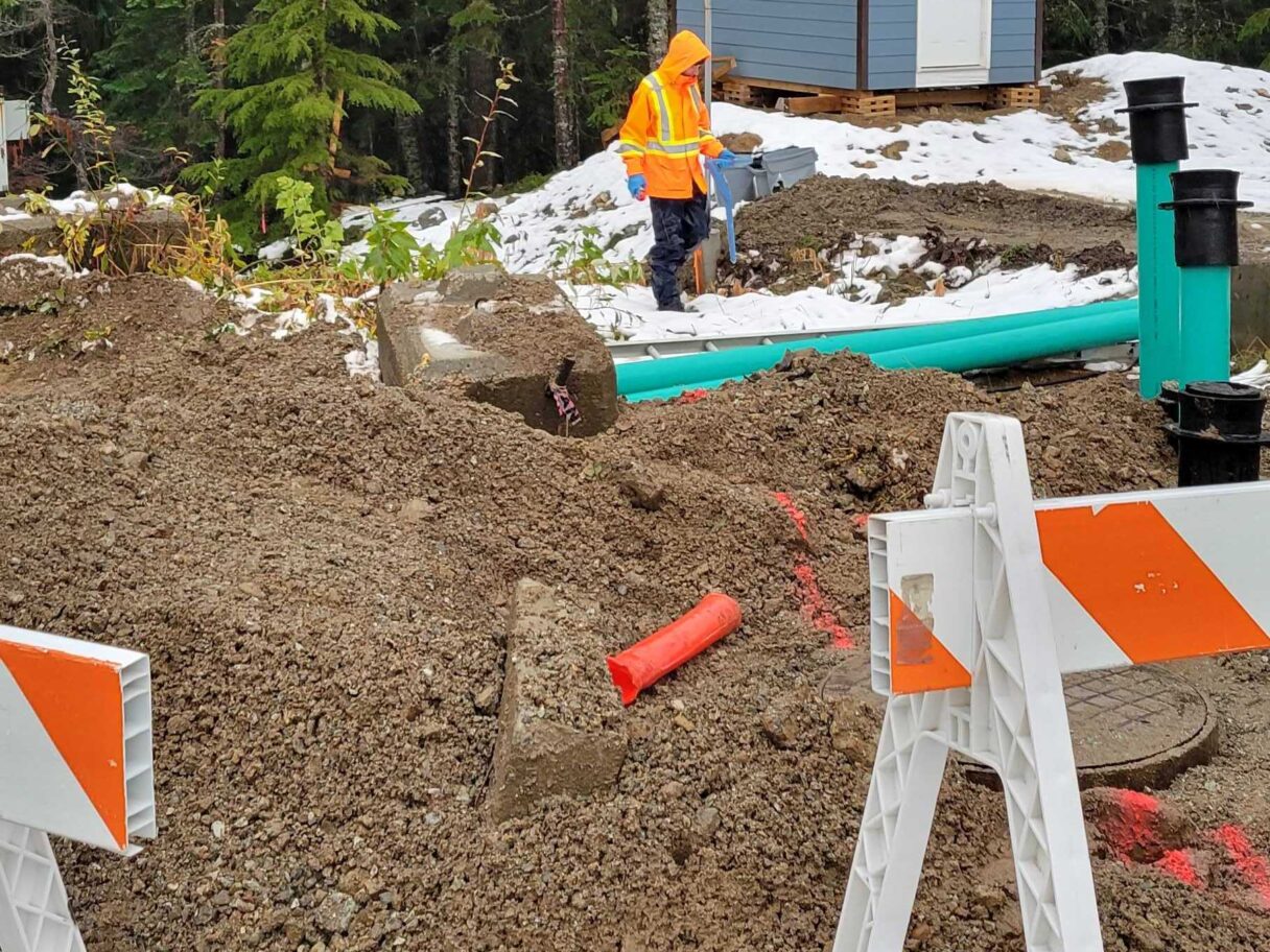
Using photocopies of photocopied hand drawn as-built drawings of the underground infrastructure, our locate technicians hit the slopes undaunted. We eventually located, surveyed and digitized the water, sewer, electrical and communications infrastructure over 6.5km of road way. Upon completion of the survey, our team supplied our clients with an accurate, high-quality CAD drawing. Our deliverables also included a fully customized GIS map documenting surface features such as fire hydrants, water valves and electrical access vaults.

Our technicians problem solving skills and innovative solutions were on full display throughout this project. By combining the use of cutting-edge technology with a bit of detective work, we were able to provide resort planners with valuable resources to guide their future developments.
If you have a project similar to this, please get in touch with us at 604.436.7226 or contact us here.


